There are different levels of survey to detect underground services:
Desktop study: Involves requesting and considering the service drawings from the owners of underground services. This should be done for all projects that involve excavation or penetrating the ground.
Desktop study and site investigation: Involves using the information from the desktop study to assist a physical inspection of the site (looking for physical signs such as inspection hatches, reinstated excavations, street lights and telecoms boxes) and a survey using detection tools.
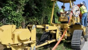
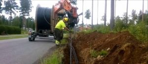
Physical identification of the services: In addition to the above (detect underground services), this involves taking steps to detect and identify the underground services through trial holes to verify their location, depth and identity. It may also involve passing a tracing device through a pipe or tunnel.
The level of survey needed will depend on the nature of the work site. Some congested urban locations will require a more detailed survey than some brown and green field sites.
The decision on the necessary level of survey should be informed by an assessment of the likelihood of underground services being present, based on the information obtained for the work site.
The designer should make this decision at the planning stage in consultation with the contractor and surveyor.
The results of the survey should be shared with the designer and recorded in a clear, usable format on working drawings to be shared with those working on the site and, where possible, marked out on site.
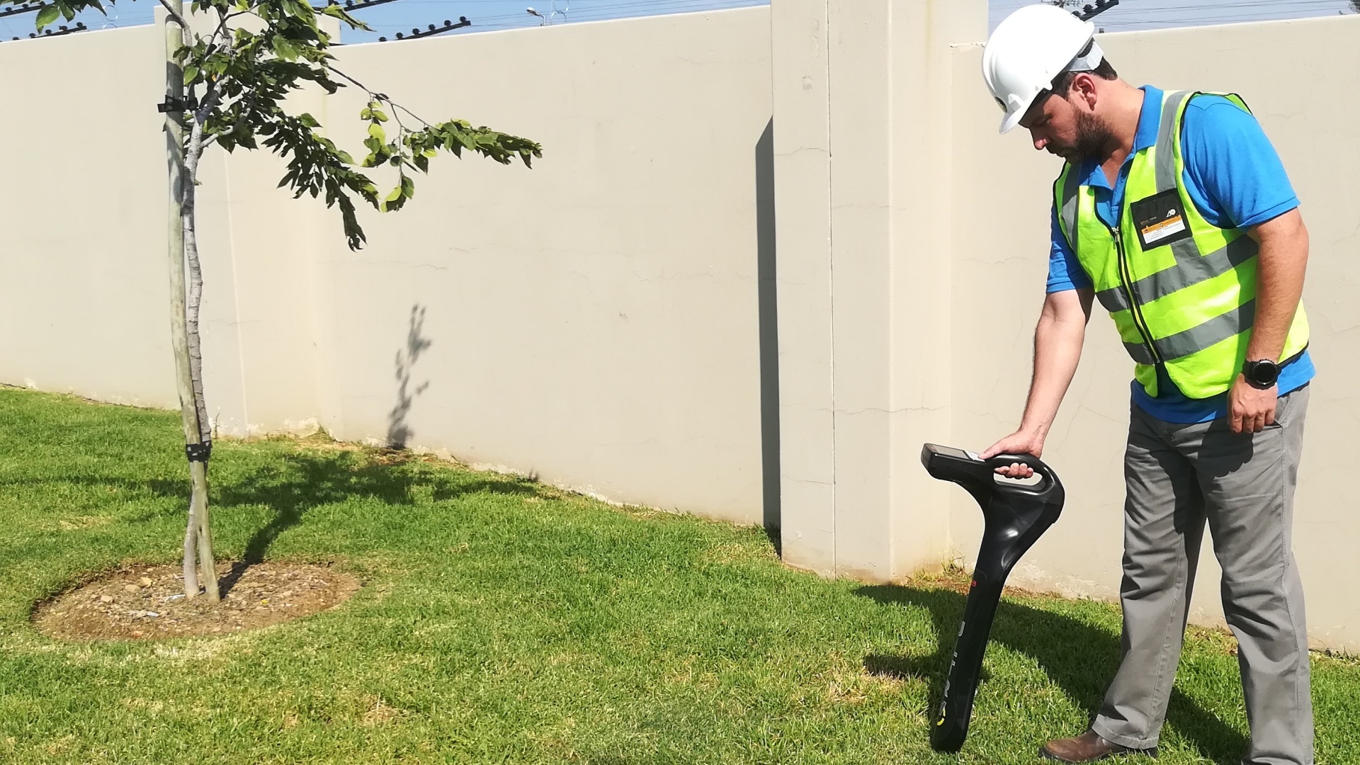
Those doing the survey need to have sufficient knowledge and experience in the use of survey equipment and techniques. They will need to understand the limitations of the equipment, the effect of differing ground conditions on the survey results, how to survey a given area effectively, and to appreciate the limitations of plans and drawings provided by the service owners.
Some training providers offer courses in service detection and mapping and an NVQ qualification in utility mapping.
The position of any services in or near the proposed work area should be pinpointed as accurately as possible using a detecting device in conjunction with up-to-date service plans and other information which provides a guide to the possible location of services, and help interpret the signal.
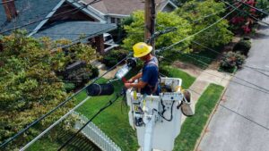
Take account of any indications that underground services exist, such as the presence of lamp posts, illuminated traffic signs, gas service pipes entering buildings, pit covers, pipeline marker posts, evidence of reinstated trenches etc.
However, if there are no such indications, this does not mean that there are no underground services. Plans do not normally show the position of gas service connections and their existence should be assumed. It may be possible to estimate the probable line of the service connection pipe from the gas meter position, or from the point of entry into the premises.
Gas plant may be shown by valve boxes, pits and housings. However, covers for valve boxes and pits will sometimes not show clearly whether gas is the service present; if in doubt, contact the gas transporter.
Anyone selecting detection tools and survey methods must understand the range of methods and tools and their limitations. In particular, they need to be aware of the potential for false readings or signals in certain techniques as they may lead to inaccurate information being included in the plan of work and, in turn, lead to a false sense of security.


